YIPEEO Img TUV GEO Img CzechGlobe Img EODC Img ESA
Video Banner

YIPEEO

Yield Prediction and Estimation from Earth Observation

Video

About

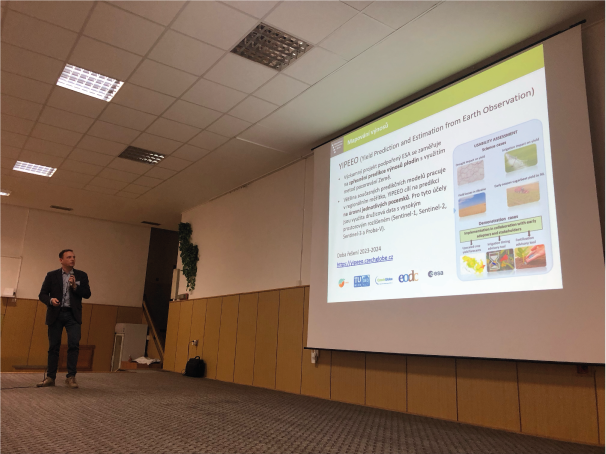
Crop yield forecasting is a vital tool to support stakeholders and decision-makers in preparing for potential yield deficiencies. Most crop yield forecasts so far have been implemented on a regional to national scale. Field-scale forecasts can add vital information for farmers and insurers but still have much potential to improve. Especially the increasing availability of high-resolution climate data from sources such as Copernicus Sentinel-1, Sentinel-2, Sentinel-3 data, and Proba-V can significantly improve such forecasts.

Challenge

Ensure food security in a changing climate.

Solution

Minimizing the impact of extreme events and changing climate on agricultural production through the use of monitoring and forecasting of crop growth and yield for more informed decision making.

Goal

YIPEEO aims to improve field-scale crop yield forecasts through the usage of high-resolution remote sensing data and cutting edge scientific methods.

Project objectives

  • Providing inputs for the development of the next generation of “fit for purpose” observation systems for agricultural monitoring
  • Setting the bases for enhanced cooperation between ESA and EC, working towards a Common Science Agenda addressing the grand agriculture-related challenges
  • A proper Science-Society interface & dialogue resulting in a transfer of science & technology results into practical solutions for farmers and other food system actors
  • Establishing a sound scientific basis for developing a Digital Twin of crop areas and agricultural activities

Results

Latest results

Image

Project information in 1 slide

PDF slide

Image

Project information in 3 slides

PDF slides

Image

Project information in 10 slides

PDF slides

Image

All results

List of all project results will be uploaded.

Project partners

Project partners

The research program is divided into nine work packages (WP) carried out by three research activities. Each activity is carried out by distinguished research team.

TU Wien CLIMERS and Remote Sensing, Austria

Contact: Wouter Dorigo

Tasks: Scientific requirement consolidation, development and validation, scientific roadmap, management

wp1

wp2

CzechGlobe Agriculture and Remote Sensing, Czech Republic

Contact: Miroslav Trnka

Tasks: Transferring science results into solutions for society, dataset collection, project database completion, promotion and coordination, science case studies
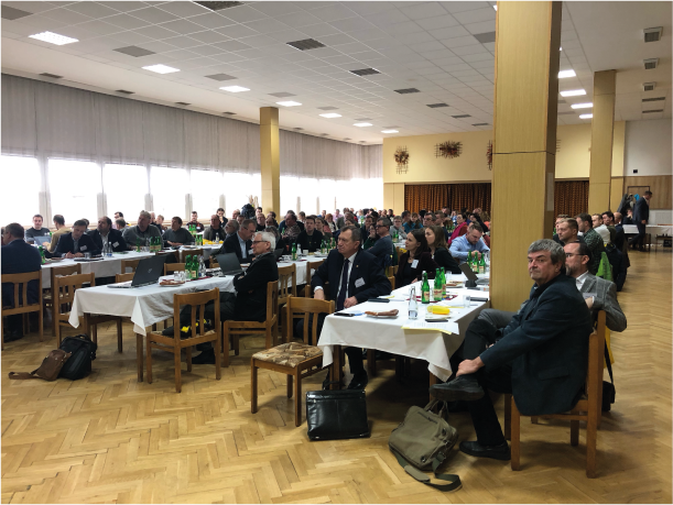
EODC, Austria

Contact: Charis Chatzikyriakou

Tasks: Experimental dataset generation

wp3

Meetings

Kick off meeting

zoom

Location: Zoom meeting

Agenda

Contact

Image

TU Wien, Department of Geodesy and Geoinformation

Research Unit of Climate and Environmental Remote Sensing
Department of Geodesy and Geoinformation (GEO)

TU Wien E120-08
Wiedner Hauptstraße 8
1040 Vienna
Austria

Web page